Shop By Map Style
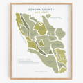
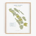
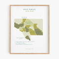
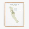
What IS an AVA Map?
AVA stands for American Viticultural Area.
Basically, an AVA is a unique area for growing wine grapes (aka. an appellation). It is a federally recognized designation to indicate a wine's origin on a wine label. There are larger AVA Regions, like North Coast or Central Coast CA; local AVAs, like Sonoma County; and Nested AVAs, like the Russian River Valley. Some AVAs fly solo and aren't pert of a larger region.
Each area has specific characteristics, either geographical or climatic, which make it distinguishable. For example, grapes growing near the coast are going to experience different conditions from those growing in mountainous areas. Why does that matter? It can impact which types of grapes thrive in particular areas, as well as produce different alcohol content, acidity levels, and possibly even how the wine tastes.
In order to include the AVA on the label, 75 percent or more of grapes used to make the wine be from that appellation, and that the wine be fully finished within the state in which the county is located.
Info courtesy of the Wine Institute and Earth Magazine